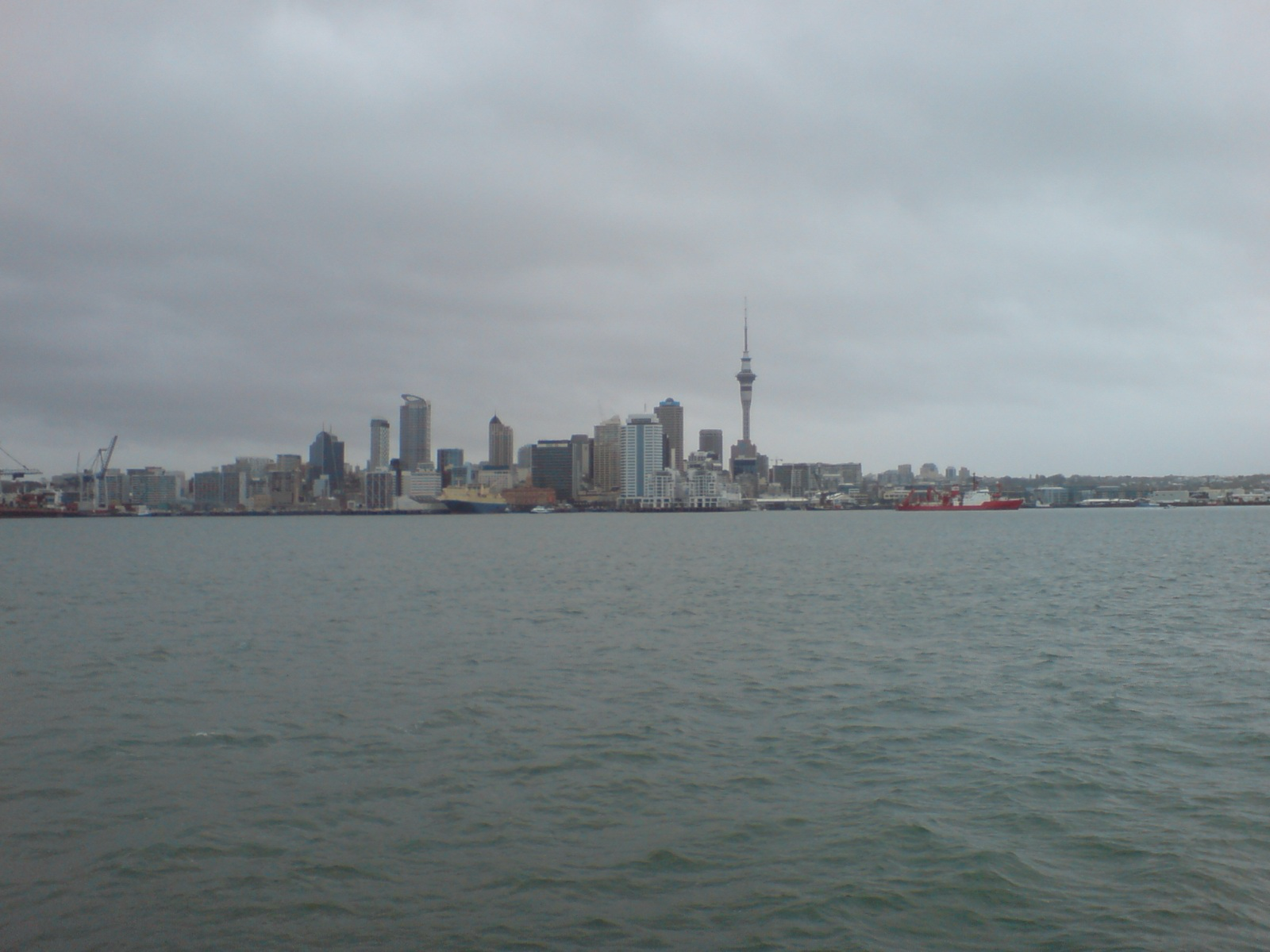
Auckland's Monday forecast gives the city a usable start to the week, but the next change is already close. MetService's Auckland Central forecast, issued at 8.50am on Monday 22 June, says conditions are mainly fine today, with cloud developing this evening and the chance of a late shower. It lists southwesterlies dying out in the evening. The seven-day forecast shows 16 degrees by day and 10 degrees overnight for Monday.
That is a practical local forecast rather than a severe-weather story. For commuters, school pick-ups, trades, dog walkers and people heading into the city after work, the most relevant detail is the late-day cloud and possible shower. It is a day where people can mostly plan normally but should not assume the clear start will hold right through the evening.
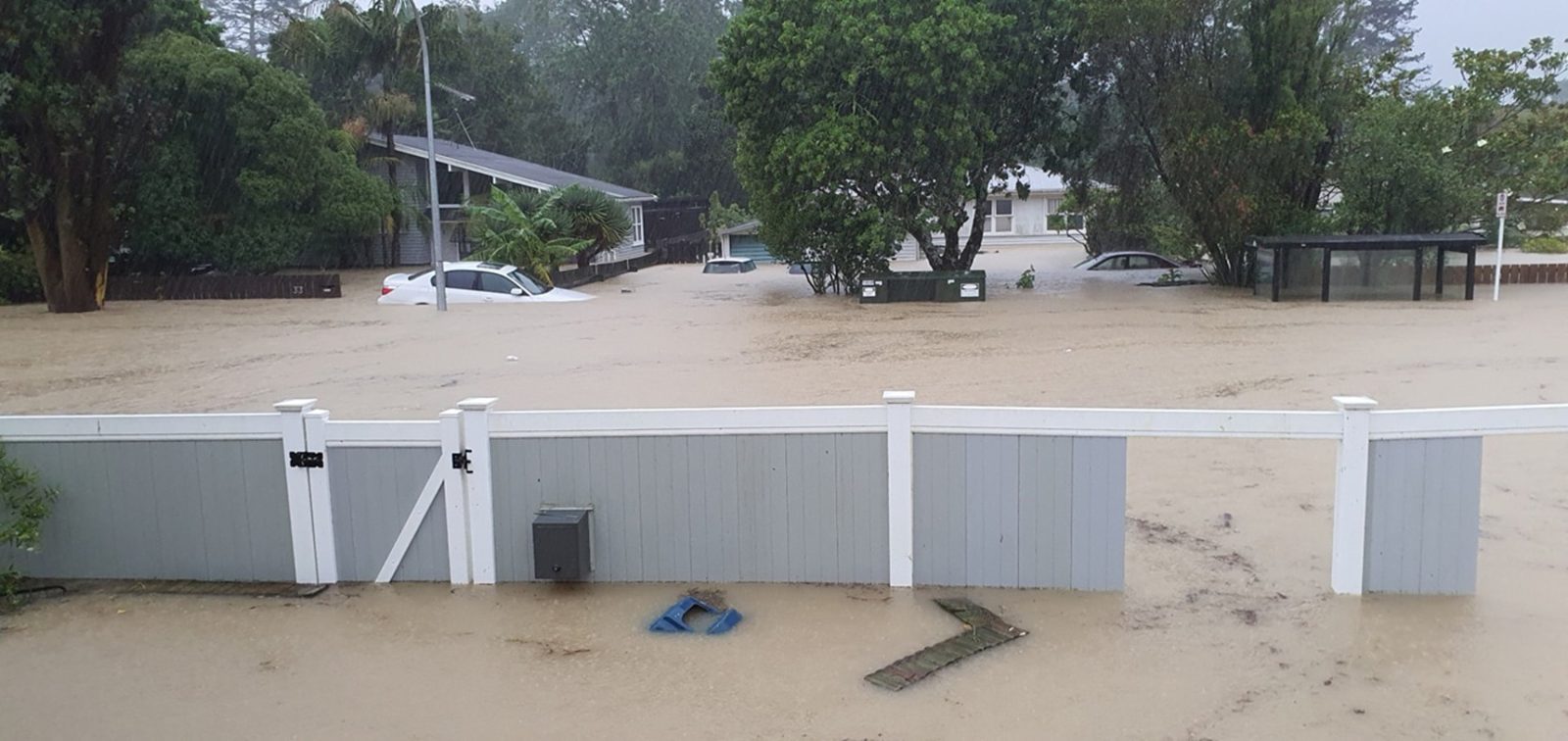
Tuesday looks different. WeatherWatch's Auckland forecast, checked on Monday night, shows Tuesday 23 June as rainy and windy, with breezy to brisk northeasterlies, a 100 percent chance of rain and around 28.6 millimetres forecast. Its Wednesday outlook then shifts to rain with breezy to brisk south to south-west winds and around 10.4 millimetres. By Thursday, WeatherWatch shows showers and brisk south to south-west winds before conditions ease toward partly cloudy or mainly sunny days later in the week.
The contrast is useful for Aucklanders because winter planning often depends on a 24-hour difference. Monday can be good enough for errands, outdoor work, washing, sport practice or a walk. Tuesday may be a different calculation, especially for people driving on exposed roads, catching buses, managing school drop-offs, working at construction sites or trying to keep outdoor events dry. A forecast does not need a warning to be worth acting on.
MetService's extended page also points to a changeable week, with late showers possible after today's fine start and rain or showers in the following days. People should still check the live MetService and Auckland Transport surfaces before travel because forecast timing can move. That is especially true when rain arrives late at night or during the morning commute, when a small shift in timing can affect congestion and visibility.
For the city's businesses, the weather has everyday effects. Hospitality operators, retailers, markets and service trades all feel the difference between a dry lunchtime and a wet one. Outdoor crews may need to bring work forward. Parents may need wet-weather plans. Event organisers may need to watch not only rainfall totals but wind direction and gusts. WeatherWatch's Tuesday wind-and-rain signal is therefore the part of the forecast most likely to change behaviour.
The broader winter pattern remains mild enough that Monday does not feel severe, but Auckland should not read a fine start as a settled week. The best local advice is simple: use the dry windows while they are there, carry rain gear from tonight, and expect Tuesday to be the heavier weather day. Today's forecast is useful because it gives residents a small planning window before the next wet system moves through.
For anyone making plans beyond Tuesday, the late-week signal is more forgiving. WeatherWatch points to lower rain chances by Friday and the weekend, so the immediate planning issue is the midweek wet spell rather than a full week of disruption.