Auckland gets one more mostly usable winter day before rain returns tonight, according to WeatherWatch's 29 July city forecast. The forecast showed mainly sunny conditions for Wednesday with fairly breezy northerly winds, a daytime high around 16 degrees and a low around 11 degrees overnight. The important change comes after dark, when WeatherWatch expected rain, a 90 percent rain chance and about 5.2 millimetres, with north to north-west winds around 23km/h.
That makes Wednesday a day for finishing outdoor tasks rather than assuming the settled look will last. The live observations on the WeatherWatch Auckland page around midday showed several central city stations sitting between about 6 and 11 degrees, with light winds at the observation points. Those numbers explain the feel of the day: bright enough to be useful, but still winter-cool, especially in shaded streets, exposed bus stops and around waterfront paths.
Thursday is less settled. WeatherWatch listed a mix of sun and cloud with a few showers, breezy to brisk westerly winds, a high near 15 degrees, an overnight low around 8 degrees, a 40 percent chance of rain and about 5.5 millimetres. Friday was expected to be partly cloudy with a few showers clearing, south-westerlies turning southerly, and a cooler 14 degree high. Saturday then looks mainly sunny but colder, with a high around 13 degrees and southerly winds.
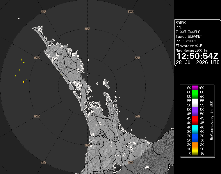
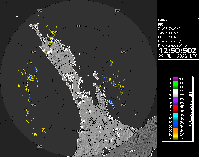
The practical advice for commuters is simple. Wednesday daytime is the better window for errands, outdoor work and town-centre trips. Late Wednesday and Thursday need a rain layer, especially for people relying on walking links to buses, ferries or trains. Rain totals in this forecast are not severe, but ordinary winter showers are enough to slow traffic, make crossings unpleasant and change turnout for evening activities. Event organisers should keep checking live radar as Wednesday turns into Thursday.
The forecast also matters for the events in this pack. Takapuna Winter Lights starts on Thursday night, when the outlook is showery and westerly rather than calm and dry. That does not mean the event is off, but it does mean families should treat waterproof layers as part of the plan, not a last-minute extra. Outdoor light events can still work well in winter weather, but only if visitors arrive prepared and transport plans are realistic.
WeatherWatch's latest video also flagged an Antarctic southerly affecting parts of New Zealand on Friday and Saturday, with the sharper cold focused beyond Auckland. For the city, the story is a wet transition and a cooler end to the week rather than an immediate warning event. Aucklanders should use the mostly sunny Wednesday while it lasts, then expect rain tonight, showers Thursday and a noticeably cooler weekend rhythm.
The main risk is complacency rather than a dramatic storm headline. A bright middle of the day can make the evening shift feel unexpected, especially for people leaving coats at home or walking between transport links after work. The forecast is mild enough for normal plans to continue, but wet enough to reward checking the radar before heading out.