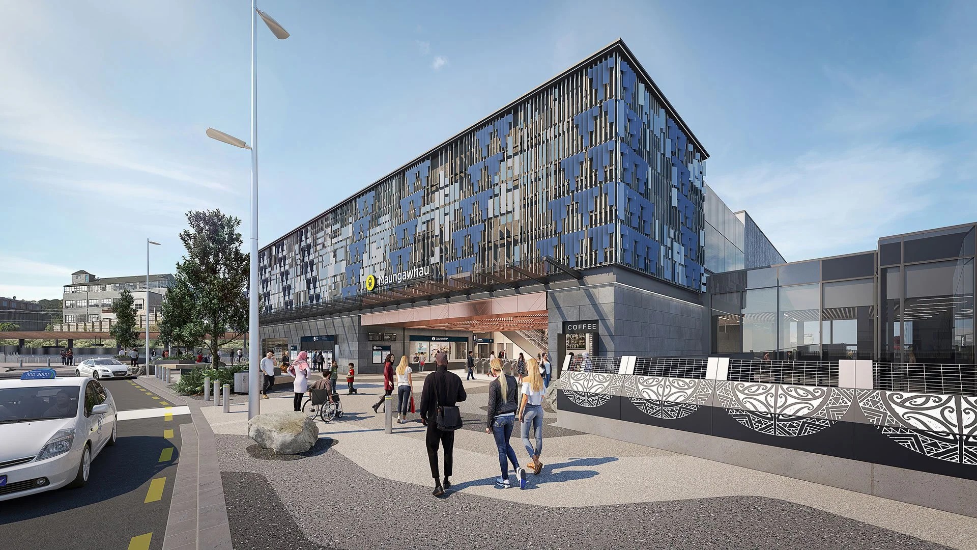
Auckland Council has turned the renewed streets around Te Waihorotiu Station into a practical ten-stop midtown walk, linking public art, bus changes, cycleway work and redesigned streets into one route. The 4 August update is framed as a walking guide, but it also gives Aucklanders a compact view of how the City Rail Link station precinct is being stitched into the city above ground.
The walk begins on Upper Federal Street with Lost & Found, a Joe Sheehan artwork made from eight large carved boulders. The work includes everyday objects, including walking shoes, and sets the route up as more than a transport shortcut. From there, the guide points people toward the Wellesley Street bus interchange, where new shelters, wider footpaths, improved crossings, paving, seating, lighting and bus-train transfers are part of the refreshed street environment.
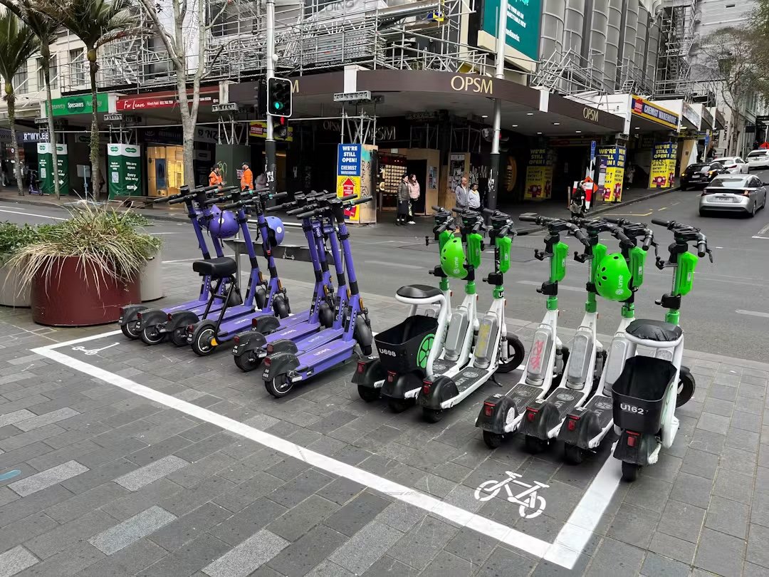
That transport detail matters. City Rail Link is often discussed through train frequency and station capacity, but a station succeeds only if the streets around it work for people arriving by bus, bike, scooter, taxi, foot and mobility aid. A poor interchange can make a good rail station feel disconnected. A clear, safe and active street can make the station part of everyday city life before people even enter the platforms.
The council's walk also highlights Huihui Whetu, a light projection beside Te Waihorotiu Station on the Aotea Square side. The work by Graham Tipene is scheduled to illuminate the temporary canvas until 25 September, according to the council. It is described as celebrating starlore and constellations, and it adds an evening reason to visit the area rather than treating midtown as somewhere to pass through.
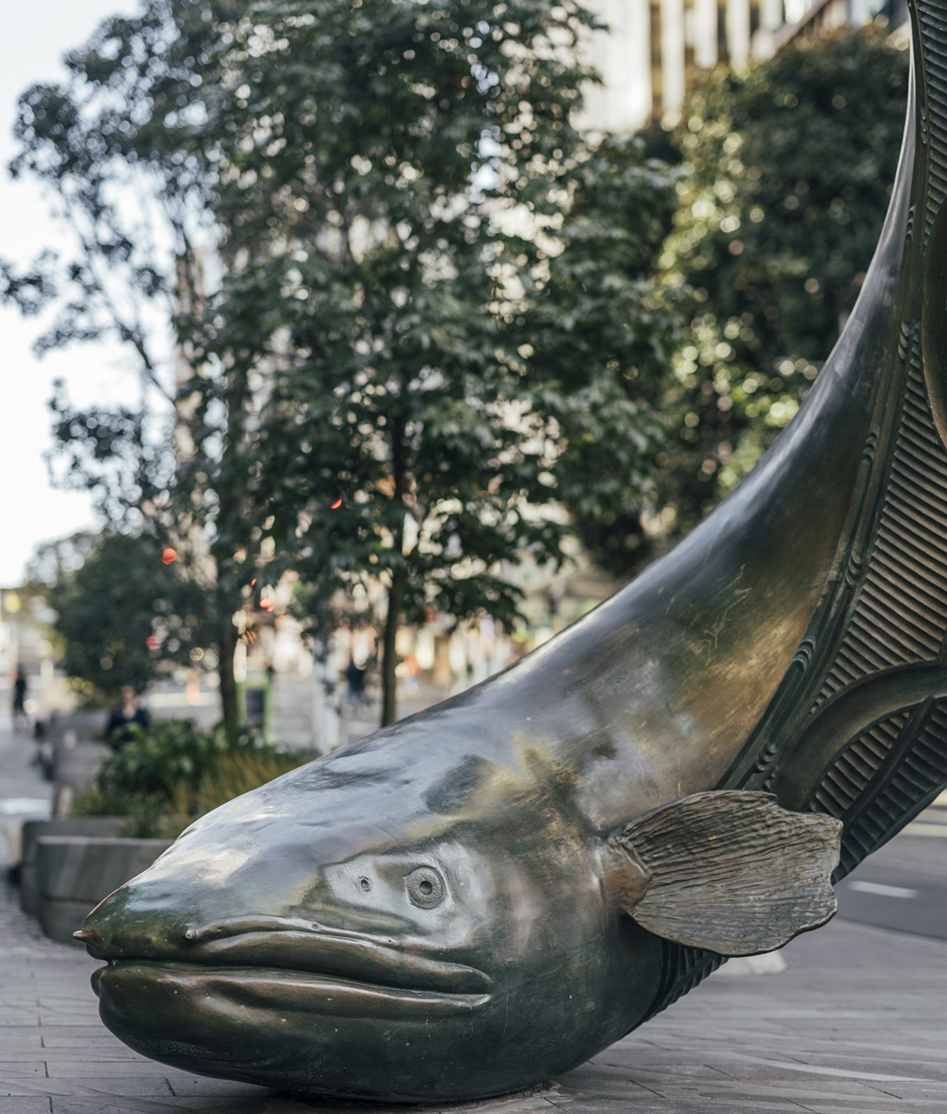
Victoria Street West is the route's strongest cultural and visual anchor. The council points to Wāhine, an artwork showing a welcoming figure performing a karanga as people emerge from the Victoria Street station exit. It also highlights Horotiu, a bronze longfin eel descending in a spiral to the footpath, with pavement detail reflecting the Waihorotiu stream bed. These works make hidden local geography visible: the stream is now underground, but its story has been brought back into the daily path of commuters and visitors.
The guide also includes Elliott Street's food history, the Strand Arcade's heritage, the Victoria Street cycleway, new trees and seating along Upper Victoria Street East, and Auckland Art Gallery beside Albert Park. Read as a whole, the route is a reminder that transport projects change more than timetables. They change walking habits, retail edges, public art locations and how people understand a neighbourhood.
For Aucklanders, the most useful part is that the walk gives the renewed precinct a simple test. If residents can follow the route, find places to pause, connect easily between bus and train, and feel the public art belongs to the street rather than a brochure, the station neighbourhood is doing its job. The official guide now gives people a reason to check that work on foot.
The timing is useful, too. August is not peak tourist season, so a midtown walk has to appeal to people who already live, study or work nearby. If those people start using the route for lunch breaks, evening events, gallery visits or simple transfers, the area gains repeat life rather than one-off attention. That is the harder test for any transport-led renewal.