
Auckland Forecast Shows Dry Weekend Window Before Monday Showers is today's weather story for The Auckland Loop because it gives Aucklanders a practical planning update without overstating a routine winter pattern. WeatherWatch's Auckland forecast checked during the 11 June run listed 16 degrees for today, cloudy conditions, fairly breezy south-west winds, a 10 percent chance of rain and only trace rainfall. The useful local point is that Auckland is not facing a major weather headline, but it does have a short run of relatively workable winter conditions before showers are forecast to return early next week.
That distinction matters. Auckland weather coverage can become noisy when every grey day is treated as a crisis or when a dry spell is sold as a settled week. The latest WeatherWatch outlook points to a more modest reading. Tonight is listed at 9 degrees, partly cloudy, with light south-west winds and another 10 percent chance of trace rain. Friday 12 June is forecast to reach 16 degrees during the day with a mix of sun and cloud, light southerly winds and a 10 percent chance of rain. Saturday 13 June is forecast at 17 degrees during the day, partly cloudy, with light westerly winds and a 20 percent chance of trace rain.
For Auckland households, that is useful information. A dry or mostly dry winter window can affect school sport, dog walking, washing, outdoor jobs, ferry timing, central-city visits, open homes and weekend event travel. It can also help small businesses and trades plan work that is awkward in heavier rain. The forecast does not remove the need to check live conditions, especially around exposed coastal routes, the Harbour Bridge and ferry services, but it gives people a reasonable starting point for the next few days.
The Sunday and Monday signals are the reason not to overstate the outlook. WeatherWatch lists Sunday 14 June at 17 degrees during the day and 12 degrees at night, with partly cloudy conditions, breezy west to north-west winds, a 10 percent chance of rain and 1.1 millimetres. Monday 15 June shifts to showers, breezy westerly winds, a 50 percent chance of rain and 1.9 millimetres. Later in the outlook, Friday 19 June and Saturday 20 June also carry shower signals with higher rain chances and larger amounts than the immediate weekend.
The practical reading is therefore simple. Aucklanders should use Friday and Saturday for weather-sensitive plans where possible, while keeping Monday flexible. Families with weekend sport or outdoor activities should still check the latest forecast before leaving, but the current outlook is more supportive than a wet-all-day pattern. People attending events or moving around the city should also plan for winter light, cooler evenings and wind, not only rain.
This article deliberately avoids inventing local impacts. The sources support temperatures, wind direction, rain chance and broad condition descriptions. They do not support claims about cancellations, transport disruption, emergency warnings or damage. If those issues arise, they need separate confirmation from official agencies, event organisers or transport operators. For now, the story is a planning story, not a severe-weather story.
Weather is also a reminder that Auckland's daily news does not always need a dramatic event to be useful. A clear, modest forecast can help readers make better choices about errands, travel, work and family plans. The value is in the specifics: the 16 and 17 degree daytime highs, the light southerly and westerly winds, the low rain chances through Saturday, and the stronger shower signal on Monday. Those details are what turn a generic winter update into something people can use.
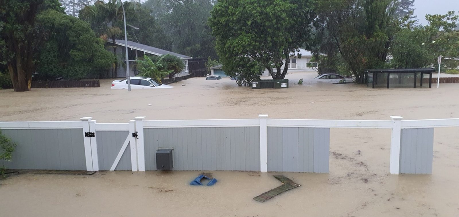
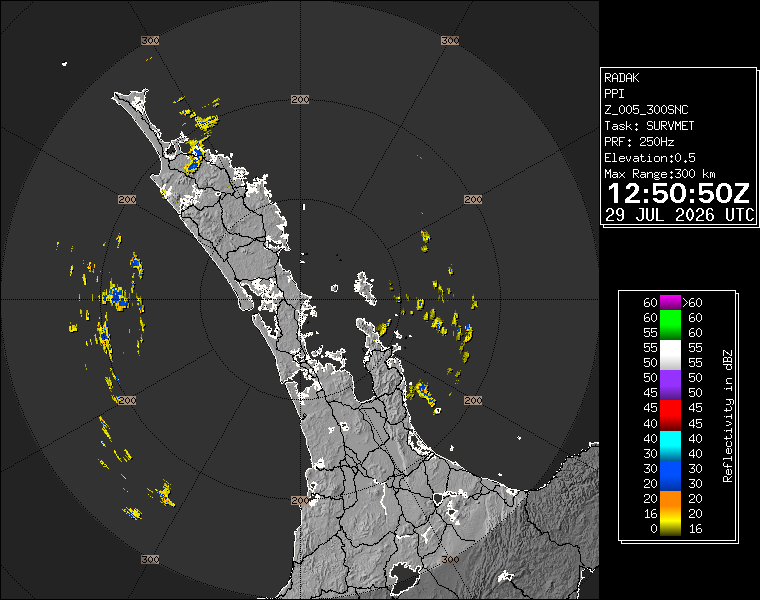
On that basis, this weather story is safe to publish. It is current, local, source-checked and paired with a real reusable Auckland weather image. The next useful step for readers is to check live WeatherWatch and MetService updates before finalising outdoor plans, especially if their plans depend on ferries, exposed roads, sports fields or evening conditions.