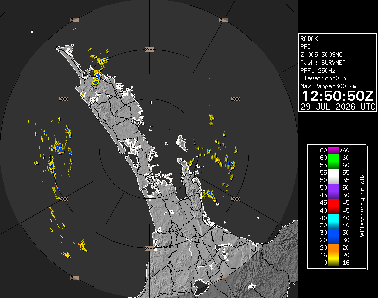
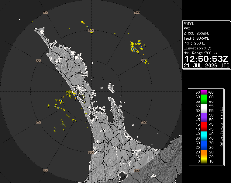
Auckland's Tuesday weather story is a practical one rather than a dramatic one: cloud, a cooler southwest flow and radar that was clearing rather than building into a major rain event. WeatherWatch's Auckland forecast page, checked on Tuesday afternoon, described conditions as partly cloudy with fairly breezy southwesterlies. The latest Auckland radar image available during the check showed the city in a pattern that looked more like passing showers and local damp spots than a broad, high-impact system.
That distinction matters for how Aucklanders plan the rest of the day. A partly cloudy, breezy southwest setup can still be uncomfortable on exposed streets, wharves, sports fields and school sidelines. It can make short showers feel sharper and temperatures feel lower than the number on a forecast page. But it is different from a day where heavy rain, severe thunder or widespread disruption is the main risk. The useful advice is to keep a jacket handy, not to cancel ordinary plans without checking live conditions.
MetService and WeatherWatch both provide live or frequently updated products, so readers should treat this as a snapshot rather than a promise for every suburb. Auckland's geography makes that especially important. West Coast showers, harbour breezes, eastern bays, city-centre wind tunnels and rural edges can all produce different experiences within the same afternoon. One part of the region can be dry enough for a school pickup or late walk while another gets a quick shower.
The southwest wind is the feature many people will actually notice. It can make cycle commutes and exposed bus stops less comfortable, and it can add chop to harbour conditions. People heading across the bridge, around the waterfront or through open suburban corridors should expect the day to feel colder than a sheltered thermometer reading. For tradies and outdoor workers, the breeze can also change the feel of a job even when rain is not persistent.
Transport planning should stay sensible rather than alarmed. On a day like this, the bigger local issues are usually wet-road caution, reduced visibility in passing showers and wind exposure in the usual places. That can still matter at school times, on motorway ramps and around construction sites. Drivers do not need a severe-weather mindset, but they do need the boring basics: lights when needed, following distance and time for sudden surface changes.
For events, hospitality and retail, the reading is mixed. The city is not looking at a blue-sky winter invitation, but neither is the forecast a clear reason to expect widespread weather cancellations. Indoor venues, malls, restaurants and after-work plans should be fine for most people. Outdoor sport, waterfront dining and evening walks need a closer check of live radar and local wind, especially if people are moving between suburbs.
The safest headline is therefore that Auckland remains in a changeable winter pattern. The radar image gives a useful current view, while the forecast wording gives the broader feel of the day. Neither supports overstating the weather into a major event. For readers, the value is in the practical middle: carry a layer, watch for showers, expect southwest wind, and check the live radar before committing to anything exposed.
Weather coverage can become noisy when every cloudy day is treated like a warning. Today's Auckland picture does not need that. It needs clear, local, time-aware reporting that says what is happening now and what people should do with it. As of Tuesday afternoon, the answer is simple: the city is cool and breezy, the radar is worth checking, and most plans can continue with ordinary winter caution.