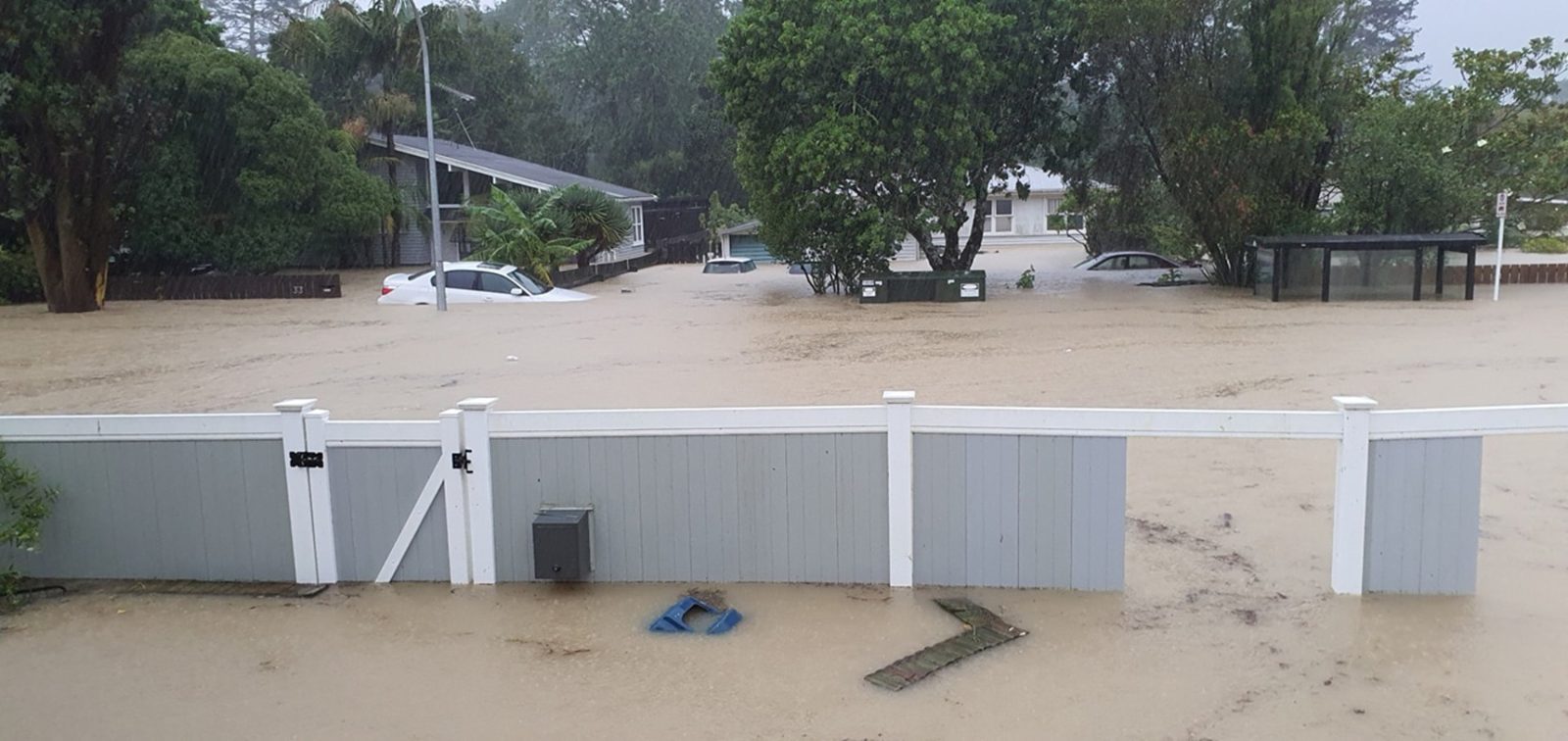
Auckland's Friday forecast has moved from ordinary winter cloud into a more disruptive planning pattern, with WeatherWatch warning of windy showers and MetService pointing to periods of rain from the afternoon, possibly heavy. The useful message for 24 July is not panic. It is that the city should treat the day as changeable, wet in bursts and more exposed to wind than a normal grey winter Friday.
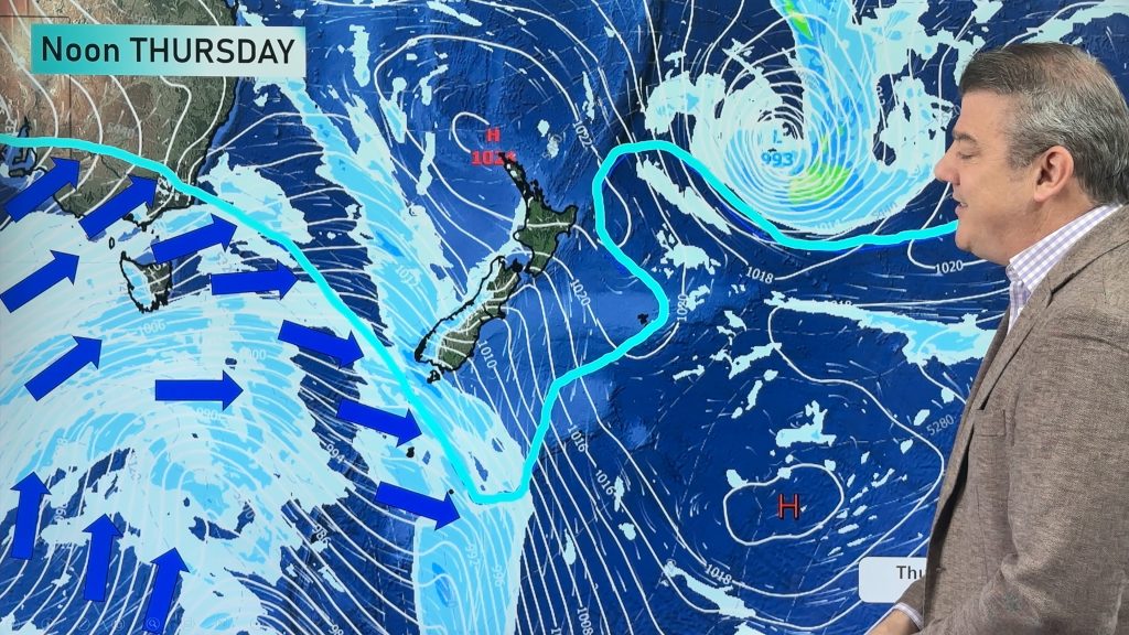
WeatherWatch's Auckland forecast says Friday is expected to bring windy showers, some heavy and squally, easing later in the day. It lists a 90 percent chance of rain and west to south-westerly winds picking up, with gale force winds possible in exposed places and gusts above 100km/h in exposed areas. That kind of wording matters for people crossing exposed roads, working outdoors, riding bikes or scooters, moving around the waterfront, or planning afternoon sport.
MetService's Auckland Central extended forecast gives a second source check. It lists Friday 24 July with partly cloudy conditions and early fog in places, followed by periods of rain from the afternoon that may become heavy. Its rural Auckland forecast also points to rain developing from the afternoon and the possibility of thunderstorms about the west coast. The two forecasts are not identical in every detail, but they both push Aucklanders toward the same behaviour: check live conditions before assuming the day is settled.
NIWA's weather page adds a simpler public-facing summary for Friday: light rain and light wind with gusts up to 30km/h. That is less severe than WeatherWatch's exposed-place warning, but it still supports the idea that rain is part of the day. The difference between region-wide wind and exposed-site gusts is important in Auckland. A sheltered street can feel manageable while the harbour edge, a bridge approach, an open sports field or a coastal road feels much sharper.
For commuters, the timing is the concern. Afternoon rain can land across school pickups, work departures, courier runs and pre-weekend travel. Wet roads after dry intervals can become slick, and sudden showers can slow buses, make walking connections unpleasant and tighten transfer windows. People heading to events should assume the trip home could feel colder and slower than the trip out.
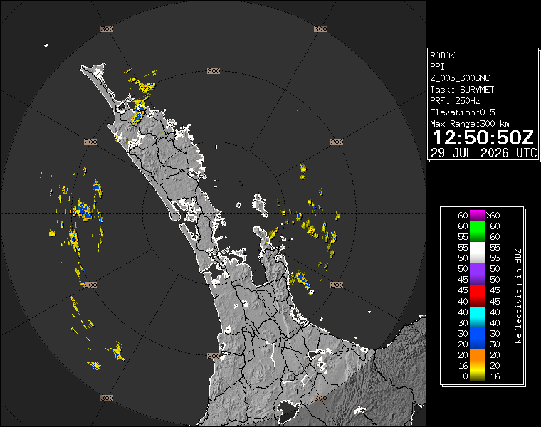
For households, the practical list is short. Carry a proper rain layer, secure loose outdoor items if the property is exposed, allow extra time for driving, and check live radar before committing to outdoor work. People in west-facing or coastal areas should be more cautious about the wind than those in sheltered inner suburbs. The same forecast can produce very different experiences across the Waitakere foothills, the central isthmus, the North Shore and eastern bays.
Event organisers have a similar decision to make. Indoor events are well placed, but outdoor programmes need a clear wet-weather call and a way to tell participants early. The forecast does not mean every outdoor plan should be cancelled. It does mean organisers should avoid leaving families, volunteers or casual attendees to guess from a vague morning sky. A brief dry spell before lunch may not say much about the afternoon.
The forecast also matters for the weekend's major-event build-up. Tottenham Hotspur and Auckland FC play at Eden Park on Sunday, and many people will be watching whether Friday's wind and showers clear into a more workable Sunday pattern. WeatherWatch's outlook points to a colder showery Saturday before a mostly sunny and breezy Sunday. That is useful, but still worth rechecking closer to travel time.
Auckland winter weather often sits below warning headlines while still shaping the day. Today's sources point to exactly that: rain likely enough to plan around, wind strong enough to respect in exposed places, and enough variation across the region that live checks matter. The safest assumption is not that the day is ruined. It is that plans should be flexible and weather-aware from afternoon onward.