Auckland's midweek forecast is a reminder that winter weather does not need to be severe to affect plans. MetService's Auckland Central extended forecast for Wednesday, 22 July, pointed to cloudy periods with a few showers, mainly in the morning, and southwesterlies developing. WeatherWatch's Auckland page showed shower chances continuing through the week, with a more unsettled feel signalled for Friday.
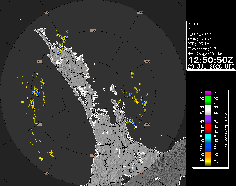
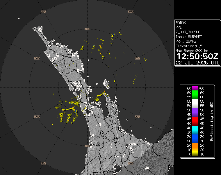
The radar snapshot saved for this run showed Auckland under a live-radar pattern rather than a dramatic warning situation. That is useful context. A radar image is not a whole-day forecast, but it helps readers see whether showers are actually crossing the region at the time of publication. For commuters, schools, trades and anyone moving between suburbs, that live check often matters more than a broad regional summary.
The bigger planning point is the run into Friday. WeatherWatch's Auckland forecast described rain and fairly breezy southwesterlies for Friday, with an 80 percent chance of rain and moderate rainfall. It also described Saturday as showery, with fairly breezy southwest winds, before a more settled mix of sun and cloud on Sunday. That sequence suggests Aucklanders should treat the next few days as a changeable winter stretch, not a one-off wet morning.
For drivers, the advice is ordinary but important. Passing showers can make road surfaces slick after dry breaks, especially on motorway ramps, painted markings and suburban intersections. Southwesterlies can also make exposed bridges, harbour edges and open roads feel more uncomfortable for cyclists and motorcyclists. There is no need to turn a standard winter forecast into panic, but the combination of showers and wind still rewards slower, more defensive travel.
For public transport users, the practical issue is comfort and timing. A shower that lasts only a few minutes can still matter if it arrives while people are waiting at an exposed bus stop or walking from a station. The forecast also makes a case for checking live service information before longer trips, because wet roads and heavier traffic can create delays even when the rail and bus network itself is operating normally.
Event organisers and hospitality venues should watch the Friday and Saturday periods most closely. Indoor plans are well placed, while outdoor sport, waterfront dining, school activities and weekend markets may need sharper local checks. Auckland weather can split across the region, so a central-city forecast may not tell the whole story for west coast suburbs, the North Shore, eastern bays or the rural south.
The forecast is also a good example of why two-source weather checks are useful. MetService provides the official national forecasting baseline, while WeatherWatch's local page and radar products give an accessible view of rain movement and probability. When both are pointing toward showers and southwest wind, readers can have more confidence that the week's practical theme is unsettled winter weather.
The takeaway is straightforward: keep a rain layer close, expect southwest wind to make temperatures feel cooler, and check live radar before committing to exposed plans. Auckland is not looking at a major weather event on the evidence checked for this pack, but the week still has enough showers and wind to disrupt anyone who plans as though winter has taken the day off.