Auckland's Sunday weather story is a planning story, not a background detail. MetService's Auckland Central forecast for 26 July lists showers, some heavy, easing in the afternoon and clearing by evening, with southwesterlies turning southeasterly in the morning and becoming strong in exposed places. Its seven-day forecast adds sharper wording, pointing to showers with possible hail and southwesterlies rising to gale in exposed places by afternoon, with gusts to 100 km/h before easing at night.
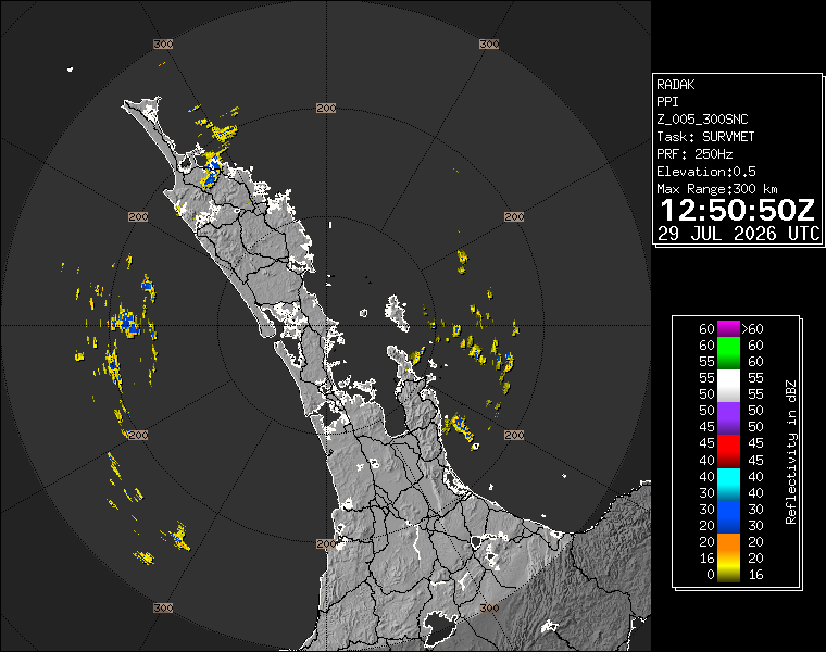
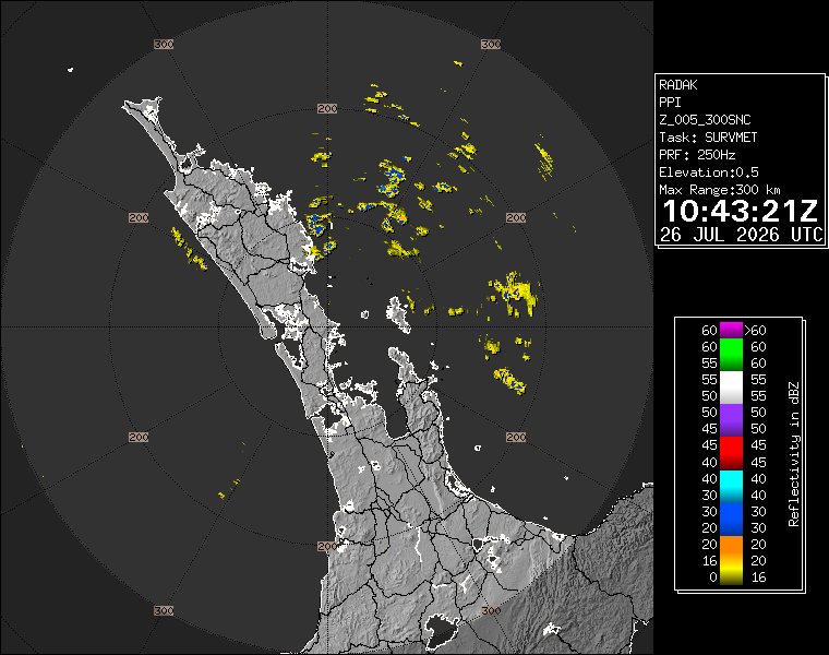
WeatherWatch's Auckland forecast supports the same broad message: a showery, breezy winter pattern rather than a settled Sunday. The WeatherWatch page shows radar and a run of forecast days in which showers and westerly or southwesterly winds remain part of the city picture before a clearer midweek break. The exact local effect will vary by suburb, but the checked sources agree that people should not plan the day as dry, calm or predictable.
The first practical issue is exposed movement. Aucklanders travelling over bridges, along waterfront edges, across open car parks, around sports grounds or between public transport stops can meet stronger gusts than people inside sheltered streets. A gust to 100 km/h in exposed places is not a citywide constant, but it is a serious enough forecast phrase to change behaviour. Loose outdoor items, temporary signs, umbrellas, light furniture and open vehicle doors all become more vulnerable in that pattern.
The second issue is burst rainfall. Showers that are heavy for short periods can still cause poor visibility, slippery surfaces and sudden changes in travel time. Drivers need more following distance and patience at merges. Cyclists and scooter riders need to judge whether a route that is comfortable in drizzle is still sensible in heavy showers and crosswinds. Pedestrians need footwear and clothing that can handle a burst rather than relying on the idea that the next shower will miss them.
The possible hail wording is also worth noting because it changes road and footpath risk quickly. Hail can be brief and local, but it can make markings, painted surfaces, steps and platform edges slick. People heading to stations, events or hospitality venues should treat the forecast as a reason to leave early and reduce last-minute rushing. Most accidents around weather are not caused by surprise alone; they are caused by surprise combined with hurry.
The forecast intersects with Auckland's event calendar. Eden Park hosted the Tottenham Hotspur and Auckland FC fixture on Sunday afternoon, while city and suburban venues continued with winter programmes. Event-goers may have been focused on tickets and timing, but weather affects the journey before and after the main attraction. Buses, trains, walking routes and pick-up zones work better when people account for wet gear, crowd movement and slower vehicle speeds.
For households, the sensible Sunday checklist is short: secure lightweight outdoor items, check drains where leaves have gathered, keep pets sheltered during sharp bursts, and avoid unnecessary exposed work during the windiest periods. Coastal and hilltop properties should take the wind wording more seriously than sheltered inland sites. Weather is regional in the forecast, but local geography decides what residents actually experience at the fence line.
The improvement signal is that MetService expects the showers to ease and clear by evening, with winds easing overnight. That does not erase the daytime risk, but it gives Aucklanders a clearer way to plan: treat Sunday afternoon as the difficult window, then recheck conditions before evening travel. The safest headline for the city is direct. Heavy showers, possible hail and exposed gales make 26 July a day for caution, not cancellation, and for checking live forecasts before setting out.