Auckland's Tuesday forecast is a mixed but manageable winter pattern: some morning shower risk, then a better finish for commuters and evening plans. MetService's Auckland Central forecast for Tuesday 14 July showed a 17 degree high and 8 degree low, with fine conditions and areas of fog developing at night. Its extended Auckland Central outlook described a few showers, mainly in the morning, clearing to fine in the evening, with northerlies turning westerly in the afternoon.
WeatherWatch's Auckland forecast gave a similar low-drama signal for the day. Its forecast page listed 17 degrees by day and 9 degrees at night for Tuesday 14 July, with partly cloudy conditions and low rainfall risk later in the day. For residents, the practical message is that the morning may be uneven, but the day is not carrying the kind of severe-weather signal that should dominate planning across the city.
The forecast still matters because Auckland's winter weather often affects movement more than headlines suggest. A light shower at the wrong time can slow motorway traffic, make school drop-offs messy, affect outdoor work and reduce visibility around the harbour and higher routes. Fog later at night is also worth noting for people driving across the region, especially in lower-lying areas, near waterways and on rural edges of the city where visibility can change quickly.
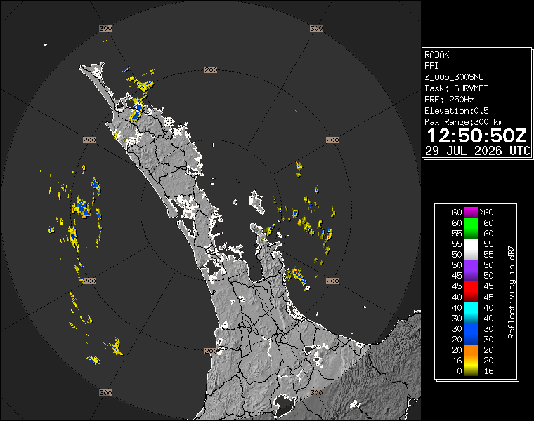
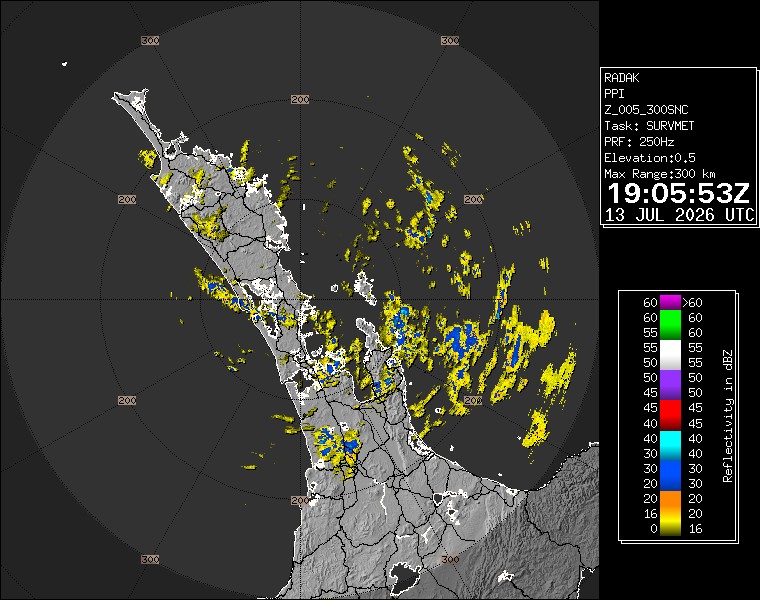
The WeatherWatch radar image used for this article gives local context rather than a dramatic warning. A radar snapshot is not a full forecast, but it helps residents understand why a day can shift between damp patches and brighter periods. That is the ordinary rhythm of Auckland in July: showers, cloud breaks, light winds or wind changes, and the need to check conditions again before leaving rather than relying on a single morning impression.
For businesses and event organisers, the forecast supports cautious normal operations. Outdoor hospitality should still plan for wet surfaces and cool air, but the clearing trend helps later foot traffic. Construction crews, council maintenance teams and sports organisers should watch the fog and wind change but do not have a clear public severe-weather trigger from the sources checked for this pack. The better advice is routine winter discipline: keep surfaces safe, allow extra travel time after showers and check official updates before committing to exposed work.
For households, the simplest plan is layered clothing, shoes that can handle wet paths, and a quick check of the latest MetService or WeatherWatch update before evening travel. The 17 degree high is mild by winter standards, but the overnight low and fog risk mean conditions can feel different once the sun drops. Aucklanders heading to evening events, waterfront viewing spots or late shifts should expect the city to cool quickly.
This article deliberately avoids overstating the forecast. The available sources point to a day that improves rather than escalates. That makes it useful local service journalism: not every weather story is a warning. Sometimes the value is telling people that the morning uncertainty should clear, the evening may be fine, and fog is the main late-day detail to keep in mind.