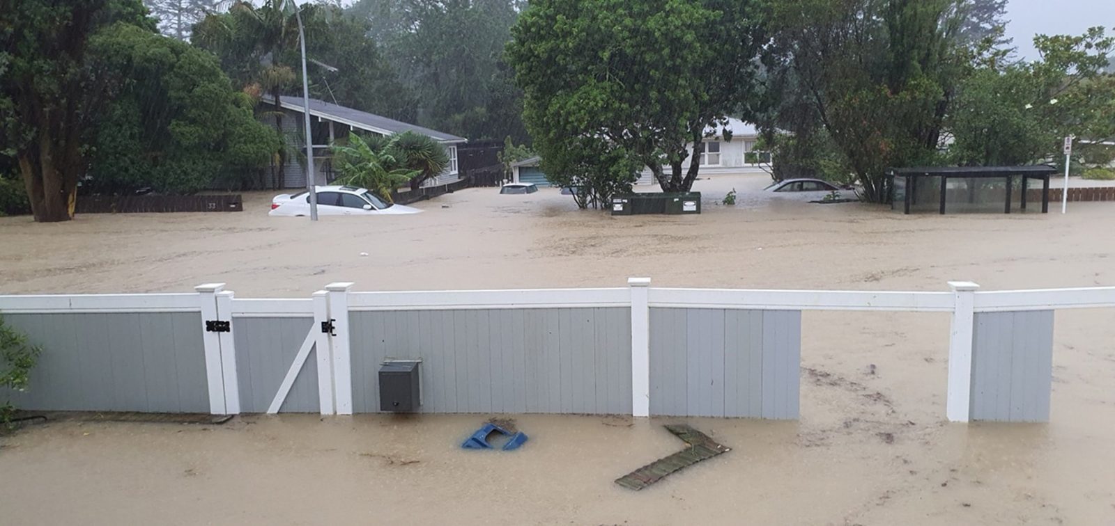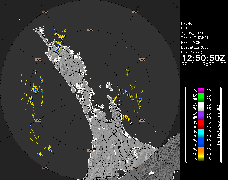
MetService has kept Auckland and Great Barrier Island under a heavy rain watch as a low from the Tasman Sea brings wet, windy and warm conditions across the upper North Island. 1News reported on Wednesday morning that the watch for Auckland and Great Barrier Island ran from 9am to 4pm, with MetService warning that heavy rain could bring localised flooding, slippery roads and public transport disruption, especially during peak hours.
The Auckland watch sits inside a wider weather system. Orange heavy rain warnings were issued for Coromandel Peninsula, Bay of Plenty west of Kawerau and inland parts of Tasman west of Motueka. Strong wind warnings covered Wellington, Marlborough east of Seddon and the Marlborough Sounds, while road snowfall warnings were listed for several South Island passes. That national spread matters because Auckland travel, freight and flights can be affected by conditions outside the city as well as rain falling locally.
For Aucklanders, the immediate advice is practical rather than dramatic. A heavy rain watch does not guarantee severe flooding in every suburb, but it does mean people should check live warnings before travel, allow more time, avoid driving through floodwater and think about known local trouble spots. Surface flooding can develop quickly when downpours hit roads, drains and low-lying areas during busy periods.
The 1News report said heavy rain watches were also in effect for Bay of Plenty about and east of Kawerau, and that MetService expected possible localised downpours and thunderstorms. MetService meteorologist John Law identified heavy rainfall in places such as Bay of Plenty and Coromandel as the main risk on Wednesday. Auckland may not be the centre of the strongest warning, but the city's exposure is still real because commuters, school traffic, buses, construction sites and outdoor workers all have to make decisions in the same wet window.
The city has learned in recent years that rain risk is highly local. One suburb may see ordinary winter rain while another hits short, intense bursts that overwhelm drains or slow traffic. That is why residents should not rely only on a morning forecast screenshot. MetService warnings, Auckland Transport updates, ferry notices and local road information are more useful as conditions change through the day.
Businesses should also treat the watch as an operational prompt. Outdoor jobs, deliveries, event setups, school pickups and hospitality bookings may need small adjustments. The cost of checking early is low. The cost of leaving decisions until the heaviest rain arrives can be much higher, especially for staff who have to travel across the city.
The weather story is also a reminder to keep language proportionate. Not every watch becomes an emergency, and Aucklanders do not need alarm for every wet day. They do need clear timing, realistic impact information and a habit of checking the official warning page when a low is moving through. That habit is especially useful for parents, shift workers and anyone relying on buses or ferries through the afternoon peak. The safe rule remains simple: keep current information close, avoid floodwater, and give the city more time to move while the watch is active.