Auckland's Saturday weather is a winter service story rather than a severe-weather warning, with the main sources pointing to cloud, cool temperatures and a limited shower risk. MetService's Auckland Central forecast for Saturday 18 July showed a high around 15 to 16 degrees and a low near 12 degrees, with mostly cloudy or cloudy periods and the chance of a light shower. The extended MetService outlook also described cloudy periods with odd light showers, then partly cloudy conditions with the chance of a shower until afternoon.
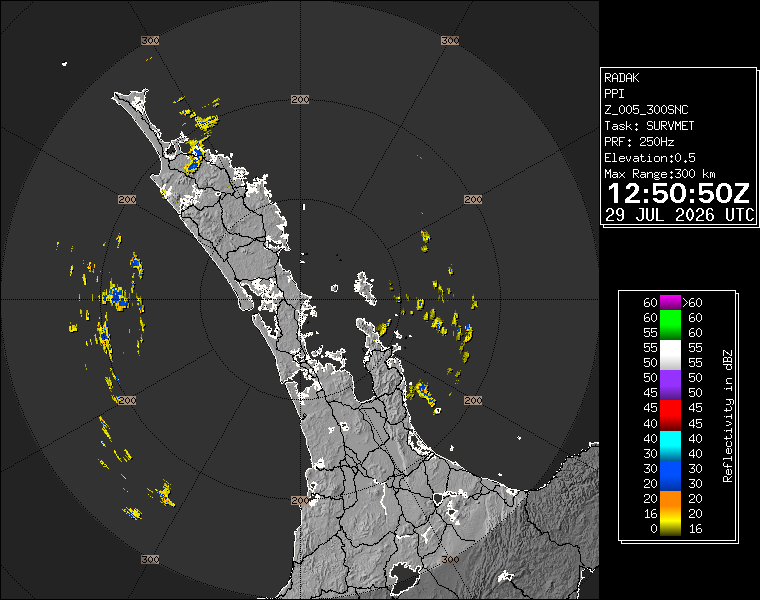
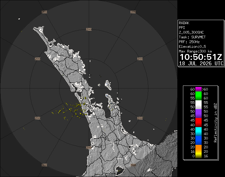
WeatherWatch's Auckland forecast gave a similar but slightly more showery flavour. Its Auckland page listed 16 degrees for the day, partly cloudy conditions, fairly breezy southwest winds, a 10 percent rain chance and trace rainfall for the daytime period. For tonight, WeatherWatch listed 9 degrees and late-night showers, with a 40 percent chance of rain and 0.3 millimetres. The WeatherWatch page also carried a real-time Auckland rain-radar image, giving a source-specific local image for the article rather than a generic weather graphic.
For residents, the practical message is to plan for a cool, changeable day without treating it as a major disruption. Light showers can still matter in Auckland because they arrive at awkward times: before stadium arrivals, during market pack-downs, around ferry transfers, or during school-holiday family plans. Wet paths and dark winter evenings can create more inconvenience than the raw rainfall total suggests.
The forecast is especially relevant because Saturday's city programme is crowded. Eden Park, Go Media Stadium, the waterfront and central-city Matariki events all depend on people moving around in the late afternoon and evening. Even a low-grade shower risk can affect footwear, jackets, waiting times, visibility and decisions about whether families stay for a full programme or leave early. Weather stories do not need to be dramatic to be useful when large crowds are involved.
NIWA's Auckland weather page also supported the general pattern, with partly cloudy conditions and light wind for Saturday 18 July. That cross-check matters because residents often compare several sources before deciding whether to change plans. When the sources broadly agree on cool temperatures, cloud and limited shower risk, the useful advice is not to cancel plans. It is to carry layers, check the latest radar before leaving, allow more time for evening travel and avoid assuming a dry afternoon means a dry night.
The weekend outlook remains worth watching because Sunday carries more rain risk in some forecasts. WeatherWatch listed rain for Sunday with light east to southeast winds, while MetService's extended page gave Aucklanders a sequence of winter conditions rather than a settled spell. Anyone with outdoor sport, markets, waterfront trips or maintenance work should re-check conditions on Sunday morning. For Saturday, the safe summary is cloudy, cool, mostly manageable and worth monitoring through live radar rather than through a single morning snapshot.
That is also why the image matters. A local radar frame does not replace a forecast, but it shows readers that Auckland weather is spatial and changeable. Conditions can look different between the harbour, western suburbs, exposed ridges and southern routes. A forecast headline gives the plan; radar gives the latest evidence. On a busy Saturday, the sensible approach is to use both before deciding whether to add a raincoat, delay a departure or keep an outdoor plan.