Auckland's Thursday weather is sitting in a familiar winter pattern: cool, mostly cloudy, and unsettled enough that a dry start in one suburb is not a promise for the whole region. MetService's Auckland Central page, checked for this pack on 23 July, showed cloudy periods with isolated light showers, a daytime high around 15 degrees and an overnight low near 8 degrees. WeatherWatch's Auckland page and radar feed gave a second check on the same theme, with live rain imagery available through the early afternoon.
There is no evidence in the sources checked for this pack of a major Auckland weather event. That is worth saying clearly because winter forecasts can easily be overplayed. The useful story is not alarm; it is daily planning. Cloudy periods, light showers and cool air still affect school pickups, building sites, courier runs, outdoor work, sport training, waterfront plans and anyone relying on a long walk between public transport stops.
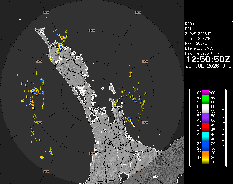
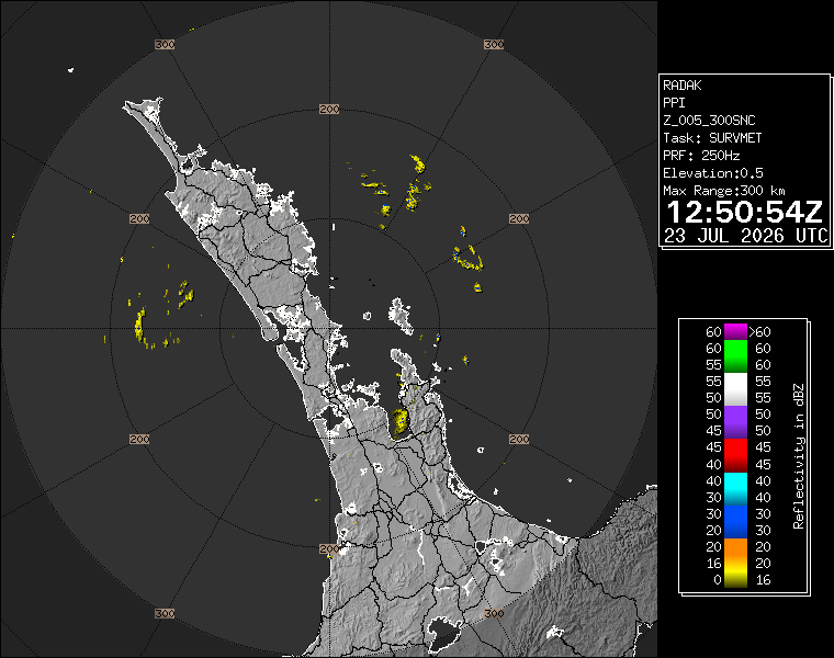
The radar image saved with this article is a snapshot, not a full forecast. Its value is that it shows the live-radar context readers often want when deciding whether to carry a jacket, delay a trip or move a meeting indoors. In Auckland, that context matters because weather can split sharply between the west, the central isthmus, the North Shore, the eastern bays and the rural south. A single central-city temperature never tells the whole story.
For commuters, the Thursday pattern argues for caution rather than disruption. Light showers can make road markings, ramps and footpaths slippery, especially after dry breaks. They can also slow traffic enough to make bus transfers tighter. If the rail network is operating normally, wet roads can still affect the first and last kilometre of a trip. People cycling or using scooters should expect colder-feeling air in exposed places and leave room for lower visibility if showers pass through.
For households, the practical advice is straightforward. Keep a rain layer close, treat the afternoon and evening as changeable, and check a live radar before committing to exposed sport, walking or outdoor dining. The difference between "isolated light showers" and a dry hour can be small in forecast language but large for someone standing at an uncovered sideline or bus stop.
Event organisers should also keep the forecast in perspective. Indoor events are well placed. Outdoor plans can still go ahead if they are flexible, but organisers should watch the radar and have a wet-weather call ready. Aucklanders are used to winter cloud, but they respond better when plans are clear early rather than changed at the last minute.
The two-source check matters. MetService provides the official forecast baseline, while WeatherWatch gives an accessible local page and radar feed. When both sources point toward cloud and showers rather than severe weather, readers can plan around nuisance weather without treating the day as an emergency.
The wider week still deserves attention. A cool, unsettled Thursday can be the start of a stretch where roads stay damp, outdoor surfaces dry slowly and people underestimate how cold it feels in the wind. Auckland does not need a warning-level event for the weather to shape the day. Today's message is to carry the basics, keep checking live information, and avoid assuming that a brief dry spell means the region is done with showers.