Auckland is under a heavy rain watch as a low from the Tasman Sea moves toward New Zealand, with 1News reporting that MetService expects the system to bring heavy rain, strong winds and colder conditions across several regions. The Auckland and Great Barrier Island watch is listed for 11 hours on Wednesday, from 8am to 7pm, while heavy rain warnings cover Coromandel and western Bay of Plenty.
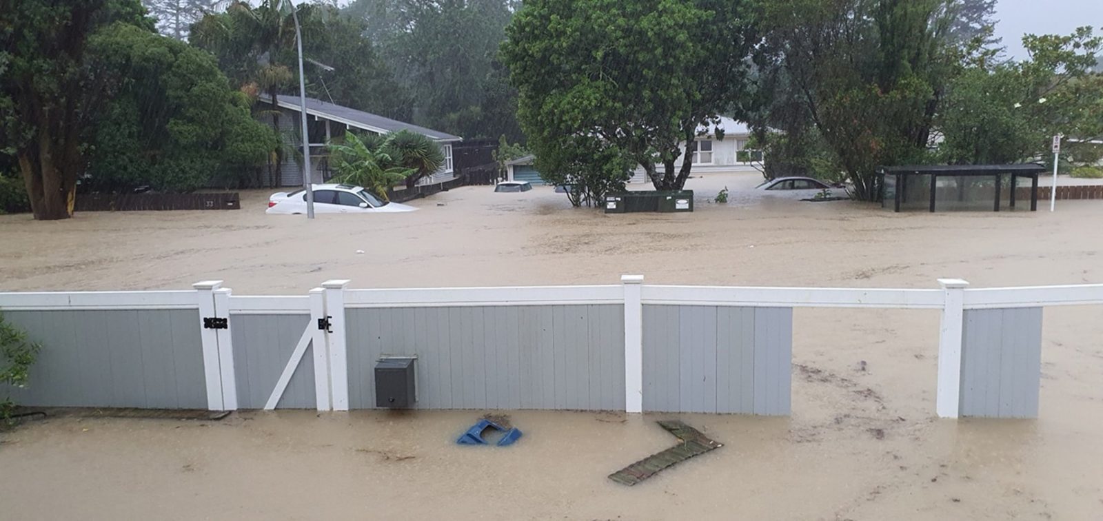
The local message is practical: Tuesday's planning needs to include Wednesday's rain risk. A watch is not the same as a warning, but it is enough for Aucklanders to check drains, travel plans, outdoor work and school logistics. Heavy rain watches can still affect traffic, surface flooding, visibility, slips, ferry conditions and construction schedules, especially when the rain arrives during the working day.
MetService meteorologist Sylvia Martino told 1News that a low developing west of the country would gradually move across New Zealand and bring heavy rain and strong winds over several days. The report said the forecast carried significant uncertainty and that people should expect watches and warnings to be added or upgraded as the low's track becomes clearer. That uncertainty is important. It means the exact local impact may shift, but it does not mean residents should ignore the watch.
Auckland is particularly sensitive to bursts of rain because the city's roads, streams and low-lying areas can respond quickly. Recent years have made residents more aware of drainage, flood-prone streets and the difference between a normal wet day and a rain event that disrupts movement. The current watch does not imply a repeat of the region's worst storms, but it does justify checking official updates through MetService, Auckland Emergency Management and transport channels before travelling.
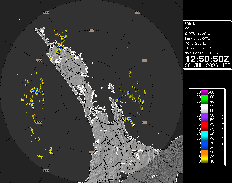
The wider weather system also affects travel beyond Auckland. 1News reported heavy rain warnings for Coromandel Peninsula and western Bay of Plenty, heavy rain watches for eastern Northland and inland Tasman ranges, and strong wind risk in central New Zealand later in the week. For Aucklanders planning road trips, freight movements or flights, the broader map matters. Weather outside the city can still affect supply chains, airport operations and inter-regional travel.
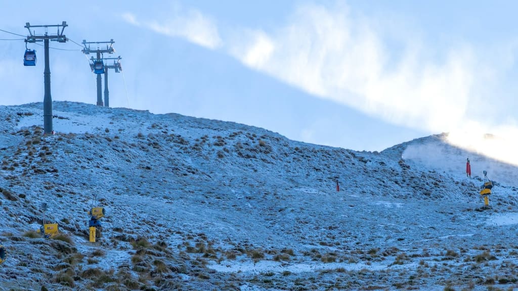
The South Island is expected to turn colder, with 1News reporting that many areas could struggle to reach 15 degrees and snow could fall at high altitudes later in the week. That detail may feel distant from Auckland, but it helps explain the system's strength. This is not simply a local shower line. It is a national winter pattern with rain, wind and temperature changes moving through different regions.
For households, the sensible response is straightforward. Bring outdoor items under cover, allow more time on Wednesday, avoid driving through floodwater if heavy rain hits, and check live warnings rather than relying on a forecast screenshot from earlier in the day. For businesses, the watch is a cue to adjust outdoor work, deliveries and event planning while keeping staff informed.
The headline for Auckland is not panic. It is preparation. A heavy rain watch gives the city a chance to act before the weather arrives. If MetService upgrades the watch, the advice will tighten. If the low tracks differently, the local impact may ease. Either way, Wednesday's weather belongs on tomorrow's calendar now.