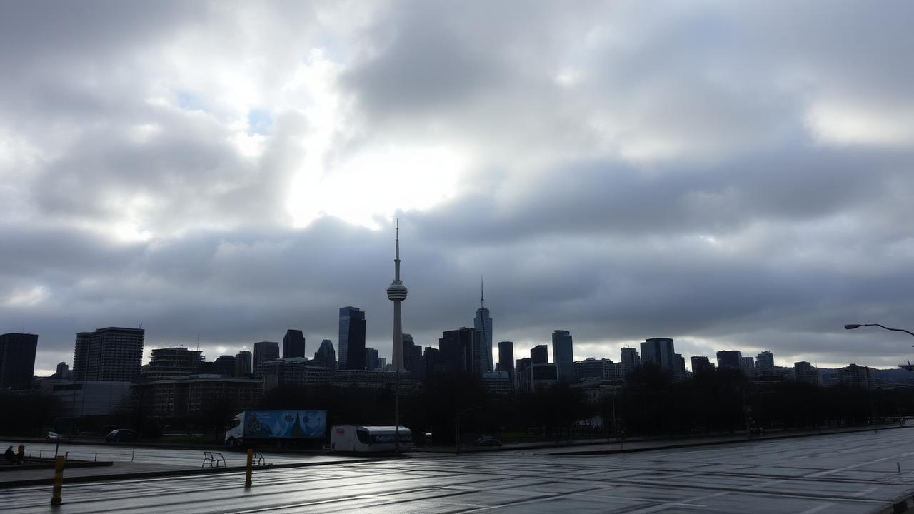

Auckland's Saturday forecast is calm enough for most public-holiday planning, but it sits inside a wider warm winter pattern that is becoming more notable by the week. MetService's Auckland Central extended forecast for 20 June lists a daytime high of 16 degrees and an overnight low of 11 degrees, with conditions mainly fine, a few areas of morning fog, cloud developing in the afternoon, light winds and northwesterlies developing later.
That is not a warning-level forecast. For residents, it is a practical winter day: check for fog in the morning, expect a mainly fine start, and carry a layer for cloud and cooler air later. People heading to Matariki events, weekend sport, hospitality bookings or train replacement connections should still check live updates before leaving, but the headline weather signal is usable rather than disruptive.
The broader context is more interesting. 1News reported on 18 June that New Zealand is tracking toward an exceptionally warm start to winter, with more than 150 weather stations nationwide on track for their warmest June on record if the pattern held at the time of reporting. The report cited Earth Sciences NZ and said Auckland was running around 2 degrees above normal, while other centres were also warmer than usual.
That does not mean every Auckland day feels summery. A 16 degree high with morning fog and afternoon cloud is still winter. The point is that the baseline is warmer than expected. Aucklanders may notice it through fewer genuinely cold mornings, lighter heating demand, different gardening cues, later wardrobe changes or more people staying out in the city after dark. Those everyday signs can be easy to dismiss until they line up with national observations.
1News reported Earth Sciences NZ principal scientist Chris Brandolino saying many locations were on track for record, second-record or near-record June warmth. The report also said 1News meteorologist Dan Corbett attributed the pattern to cold air being held well to the south while warm air moved in from Australia and the Indian Ocean. Brandolino said climate change was consistent with such outcomes, while cautioning that a formal attribution study would be needed to pin a specific month directly on it.
For Auckland, the useful response is not panic or complacency. Warmer winter weather can make Saturday plans easier, but it can also complicate water, horticulture, pests, ski-season travel and seasonal expectations across the country. Warm seas around New Zealand, also noted in the 1News report, can help lift air temperatures and affect later weather systems.
The local forecast therefore has two readings. The short reading is simple: Saturday 20 June should be mainly fine around Auckland, with morning fog in places and cloud later. The longer reading is that Auckland's mild day is part of a national pattern worth watching. If June continues running warm, the city may need to treat the month not as a one-off pleasant spell but as another data point in a changing winter climate. That makes today's forecast useful for the weekend and useful as a small local marker in a much larger weather story.